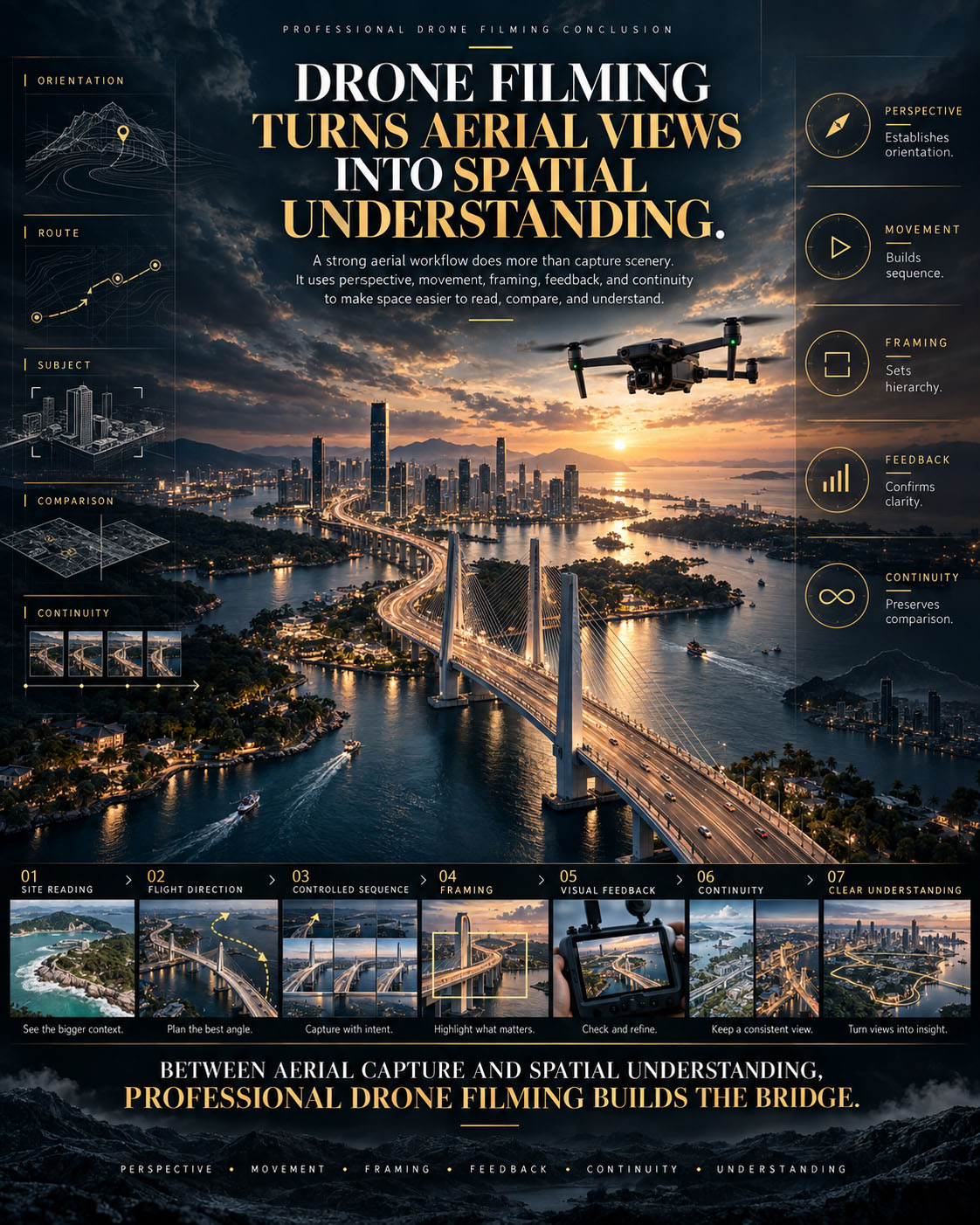


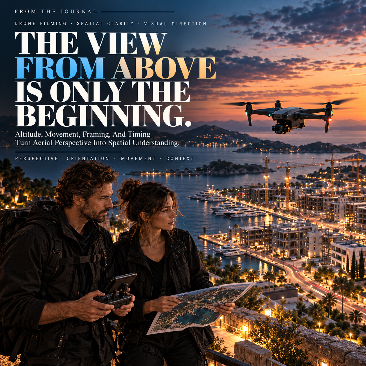
FROM ALTITUDE TO SPATIAL UNDERSTANDING
Aerial Perspective Becomes Valuable When It Reveals What Ground-Level Views Cannot.
Strong Drone Filming is not defined by how high the camera can travel. It is defined by what a change in viewpoint allows the audience to understand.
Aerial footage is often judged by its immediate visual impact. Height, scale, movement, and landscape can make a sequence impressive before the viewer has understood what it is actually communicating.
But spectacle alone does not create clarity.
A property may need its relationship to the coastline and access routes revealed. A construction site may need progress, logistics, and active zones understood at once. A hospitality destination may depend on proximity, landscape, arrival, and surrounding character becoming visible within one coherent view.
In each case, the value of the aerial perspective comes from information that becomes legible because the viewpoint has changed.
That makes professional Drone Filming a decision-making discipline before it becomes a capture discipline.
Altitude establishes scale. Framing decides what belongs together. Movement determines how relationships are revealed. Timing changes what the environment communicates.
The same location can therefore produce completely different meanings depending on where the aircraft is positioned, how the camera enters the scene, what remains inside the frame, and what the viewer is allowed to discover over time.
A high viewpoint can clarify geography but remove intimacy. A lower pass can establish proximity while hiding the wider spatial system. A reveal can connect subject and environment. An orbit can explain form. A following movement can make access, circulation, or activity easier to understand.
None of these movements is inherently better.
Their value depends on what the sequence needs to explain.
This is why strong aerial direction begins before take-off. The flight must already have a purpose: what needs to become visible, which relationship matters, where attention should move, and what understanding should remain after the shot has ended.
The objective is not to make every aerial frame dramatic.
It is to make each viewpoint useful.
THE STRONGEST AERIAL IMAGE DOES NOT SIMPLY SHOW MORE OF A PLACE.
IT MAKES THE RIGHT RELATIONSHIPS EASIER TO SEE, UNDERSTAND, AND REMEMBER.
FROM INDIVIDUAL AERIAL SHOTS TO ONE COMMUNICATION SYSTEM
What Drone Filming Must Resolve Before The Flight Becomes Meaningful
Perspective. Relationships. Movement. Context. Editorial Use.
A strong aerial sequence is not created by collecting beautiful views and deciding what to do with them later.
It depends on whether each flight decision contributes to one clearer reading of the subject.
Perspective determines what the aerial viewpoint can explain better than a ground-level camera.
It asks the first question of every flight:
What becomes understandable from here that would otherwise remain unclear?
Spatial Relationships connect the subject to what surrounds it.
Access, landscape, infrastructure, neighbouring development, distance, scale, and orientation can completely change how a location is understood.
Movement organizes attention through time.
A reveal, rise, orbit, follow, or lateral pass should not exist only because it looks cinematic. Its path should help the audience discover information in a deliberate sequence.
Context gives the image meaning beyond composition.
Light, weather, activity, visibility, season, and environmental conditions influence what the footage says about the place—not merely how attractive it appears.
Editorial Use determines what the material must accomplish after the flight.
A sequence created for sales, documentation, progress communication, hospitality presentation, stakeholder review, or long-term editorial use may require very different aerial decisions.
These five areas depend on one another.
A powerful viewpoint can still communicate little if its surroundings are excluded. Strong movement can become decorative when it reveals nothing new. Beautiful atmosphere can weaken understanding when important spatial information disappears. Excellent footage can lose value when nobody considered how it would eventually be structured and used.
The five sections that follow examine these responsibilities individually:
Perspective Before Spectacle.
Spatial Relationships Before Isolated Views.
Movement Before Decoration.
Context Before Atmosphere Alone.
Editorial Use Before Empty Footage.
Together, they shift the question away from whether an aerial shot looks impressive and toward something more useful:
Does this perspective help the audience understand the subject, its relationships, its environment, and why the view from above matters?
DRONE FILMING BECOMES STRATEGIC WHEN ALTITUDE, MOVEMENT, CONTEXT, AND FINAL USE ARE TREATED AS PARTS OF THE SAME COMMUNICATION DECISION.
AERIAL PLANNING — FROM LOCATION TO INTENTIONAL FLIGHT
WHY THIS MODEL MATTERS
The flight begins before the aircraft leaves the ground.
A professional aerial plan connects the subject, surrounding geography, intended viewpoints, altitude, movement, timing, environmental conditions, and final communication purpose before individual shots are captured.
Viewed separately, each flight decision may appear technical.
Viewed together, they form the logic that determines what the audience will see, how the space will be understood, and why one aerial perspective should lead to the next.
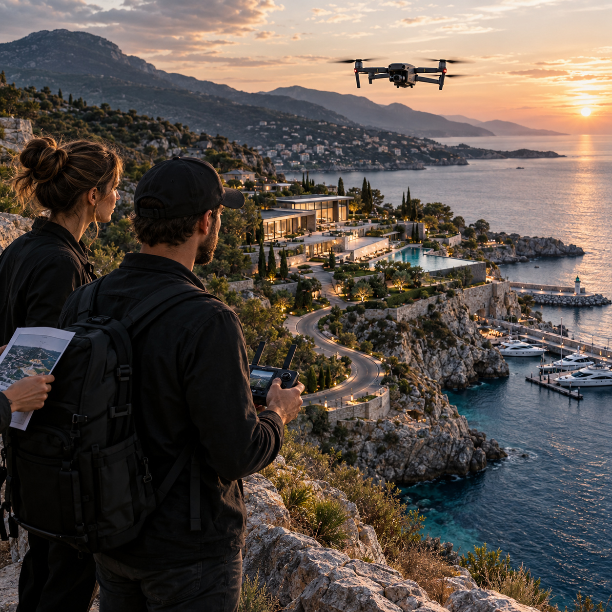
EDITORIAL MODEL
One Location — Read Through Perspective, Spatial Relationships, Movement, Context, And Intended Use.
The visual introduces Drone Filming as a coordinated system of decisions rather than a collection of isolated aerial shots—establishing the framework that the five sections ahead will examine in greater depth.
01 —
PURPOSE BEFORE TAKEOFF
WHY IT MATTERS
Professional Drone Filming begins by defining what the aerial perspective must explain.
A location can be visually impressive from dozens of angles, but not every angle communicates the same information.
Before takeoff, the production must establish what matters most, which relationships need to become visible, what scale the audience must understand, and what the final sequence is expected to achieve.
That decision shapes everything that follows.
Altitude controls how much context enters the frame. Movement determines what is revealed and in what order. Framing establishes visual priority. Timing changes atmosphere, visibility, activity, and interpretation.
The strongest flight therefore begins with a simple question:
What should the viewer understand after seeing this perspective?
Without that answer, technically strong footage can remain visually impressive but strategically unclear.
Purpose gives every later flight decision something to serve.
COMMON FAILURE
WHEN THE DRONE STARTS FLYING BEFORE THE VISUAL QUESTION IS DEFINED
Aerial production can quickly generate beautiful material.
Wide establishing views, orbit shots, reveals, top-down frames, low passes, rising movements, and cinematic transitions may all look valuable individually.
The problem appears when they were captured without a shared communication priority.
One shot may emphasize architecture. Another may prioritize landscape. Another may show access. Another may create atmosphere.
Yet nothing determines which relationship matters most or how one perspective should prepare the audience for the next.
The result is often more footage than meaning.
The location has been recorded.
But its spatial story has not been directed.
WHEN A LOCATION IS FILMED FROM MANY ANGLES WITHOUT ESTABLISHING WHAT THE AUDIENCE NEEDS TO UNDERSTAND
WHY THIS EXAMPLE MATTERS
Imagine a visually rich waterfront development filmed through multiple attractive aerial passes.
The aircraft moves higher, lower, closer, farther, around the architecture, across the coastline, and above the surrounding landscape.
Every individual shot may be technically successful.
But if the production never establishes whether the sequence should explain arrival, scale, architectural relationship, access, landscape integration, activity, or atmosphere, the resulting material competes with itself.
The audience receives views.
It does not necessarily receive direction.

WHAT NOT TO DO — Fly First And Decide What The Footage Means Later
Capturing more angles does not automatically create a stronger aerial narrative.
When purpose is undefined, altitude, movement, framing, and timing become isolated choices rather than parts of one visual system.
BETTER DIRECTION
DEFINE THE VISUAL QUESTION BEFORE THE FLIGHT
Begin with the communication requirement.
What must become clear?
What relationship should the audience recognize?
What should be established first?
Which perspective provides context?
Where should movement reveal new information?
What can remain secondary?
A strong aerial sequence can then follow a deliberate logic:
Purpose → Viewpoint → Altitude → Movement → Framing → Timing
The objective is not to restrict creative exploration.
It is to make exploration useful.
AERIAL DIRECTION
ONE LOCATION. DIFFERENT PURPOSES. DIFFERENT FLIGHT LOGIC.
The same location may require completely different aerial decisions depending on what must be communicated.
A hospitality project may need to connect arrival, architecture, landscape, and atmosphere.
A construction site may need to reveal scale, organization, access, active zones, and progress.
An event may depend on crowd density, movement, venue relationships, and surrounding context.
Professional aerial direction defines flight strategy, altitude, movement, framing, and timing around the specific spatial information the audience needs to understand, evaluate, and trust with confidence.
The subject stays the same. The purpose changes the perspective.
WHEN ONE CLEAR COMMUNICATION GOAL CONTROLS THE FLIGHT
WHY THIS EXAMPLE MATTERS
A controlled aerial sequence begins with one defined priority and builds outward from it.
An establishing perspective locates the subject.
A second viewpoint clarifies its relationship to the surroundings.
Movement reveals access or spatial sequence.
A closer pass introduces detail only after the wider structure is understood.
The sequence becomes easier to read because every new perspective adds information rather than simply changing the camera position.
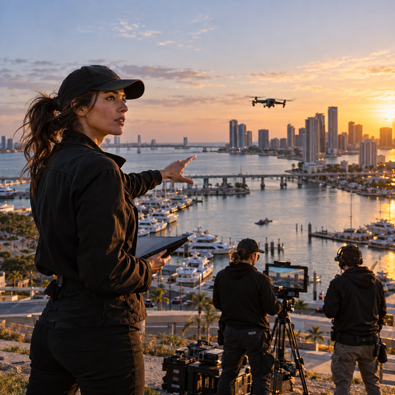
CONTROLLED FLIGHT MODEL
One Communication Goal — Translated Into Viewpoint, Altitude, Movement, Framing, And Timing.
The strongest aerial planning connects each flight decision to the same visual purpose, allowing separate shots to build one coherent spatial understanding.
WHEN SEPARATE PERSPECTIVES BEGIN TO FUNCTION AS ONE SPATIAL NARRATIVE
The value of aerial filming grows when the audience can understand not only what is visible, but where it belongs, how it connects, and why the next perspective matters.
The flight no longer produces isolated images.
It produces continuity.
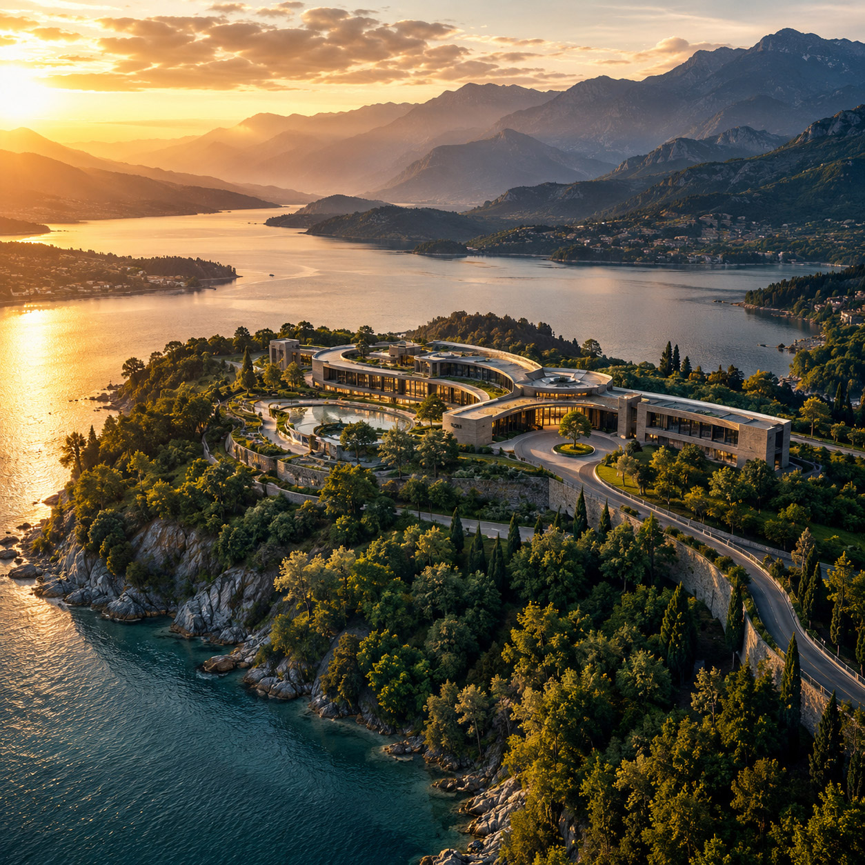
SPATIAL CLARITY
A Strong Sequence Reveals The Location In The Order The Audience Needs To Understand It.
Different altitudes and movements become meaningful when each one adds a new layer of context without forcing the viewer to reconstruct the space independently.
PURPOSE BEFORE TAKEOFF
The Flight Becomes Stronger When Every Perspective Has A Reason To Exist.
Drone Filming is not improved simply by increasing altitude, movement, equipment capability, or the number of recorded angles.
It becomes stronger when those choices answer the same communication question.
That is the difference between collecting aerial footage and directing aerial perspective.
STRONG DRONE FILMING DOES NOT BEGIN BY ASKING WHERE THE DRONE CAN FLY.
IT BEGINS BY DEFINING WHAT THE VIEWER MUST UNDERSTAND.
02 —
FLIGHT LOGIC BUILT AROUND THE SUBJECT
WHY IT MATTERS
A drone can move in almost any direction. That does not mean every movement helps the audience understand the subject.
Professional Drone Filming begins by asking what the flight must reveal: scale, access, form, distance, progression, connection, movement, or surrounding context.
Altitude changes what feels important. Distance changes scale. Speed affects how much spatial information can be absorbed. Angle determines which relationships become visible.
A reveal, orbit, tracking pass, top-down view, or pullback should therefore never exist only because it looks cinematic.
The movement should be chosen because it makes the subject easier to understand.
Good flight logic gives each shot a purpose—and gives the complete sequence a spatial direction.
COMMON FAILURE
The Drone Follows A Generic Cinematic Pattern
Many aerial sequences use the same familiar movements regardless of what is being filmed.
A fast reveal. A wide orbit. A dramatic pullback. A top-down shot. Another sweeping pass.
Individually, these shots may look impressive.
But when movement is selected before the communication objective, the sequence can become visually active while remaining spatially unclear.
A fast pass may hide access.
An orbit may show form but weaken orientation.
A very high pullback may establish scale while losing the subject.
Repeated dramatic angles may make every location feel interchangeable.
The problem is not the movement itself.
The problem is using movement without deciding what that movement must explain.
WHEN EVERY DRONE MOVE TRIES TO CREATE IMPACT
WHY THIS EXAMPLE MATTERS
Imagine a large infrastructure and waterfront development filmed through a sequence of fast fly-throughs, wide orbits, steep reveals, and dramatic pullbacks.
Each shot is technically strong.
Yet the viewer repeatedly loses the relationship between the main subject, access route, surrounding infrastructure, water, and wider site because every new movement resets orientation.
The result contains motion—but little cumulative understanding.

WHAT NOT TO DO — Build The Flight Around Favourite Drone Moves
Aerial production becomes weaker when the shot list begins with techniques rather than the information the audience needs.
Movement should serve the subject—not become the subject.
BETTER
DIRECTION
LET THE SUBJECT DETERMINE THE MOVEMENT
Begin with one question:
What must this flight help the viewer understand?
If the priority is arrival, movement may follow the access route.
If the priority is scale, the sequence may gradually expand from subject to surroundings.
If form matters, a controlled orbit can reveal relationships that one fixed angle cannot.
If progression matters, tracking can preserve direction while showing change through space.
If context matters, altitude should reveal enough of the environment without making the subject disappear inside it.
Purpose → Position → Movement → Relationship → Next View
The objective is not to use every available drone technique simply because it is technically possible.
It is to select the movements that make the spatial story progressively clearer, more coherent, and easier for the audience to understand.
FLIGHT
LOGIC
BUILD A SEQUENCE THAT PRESERVES ORIENTATION
Strong aerial sequences do more than connect visually impressive viewpoints. They create a clear spatial progression that helps the audience understand where they are, what they are looking at, and how each new perspective relates to the one before it.
A recognizable landmark, direction of travel, shoreline, road, structure, site boundary, or dominant spatial axis can become a continuous reference point across the sequence. This allows the camera to change altitude, distance, direction, and angle without forcing the viewer to mentally reconstruct the geography after every cut.
When that continuity is carefully planned, the movement feels cinematic without becoming visually disconnected. Each shot carries part of the spatial logic forward, while the next one adds new context, scale, hierarchy, or environmental information.
The result is not simply a smoother edit—it is a more useful visual system in which every new view expands understanding instead of resetting it, allowing the aerial sequence to remain dynamic, controlled, and easy to follow from beginning to end.
WHEN MOVEMENT ADDS INFORMATION INSTEAD OF REPLACING IT
WHY THIS EXAMPLE MATTERS
Consider the same complex approached through a deliberate sequence.
A wider establishing view first defines the location.
A controlled approach reveals access and the relationship between the subject and surrounding terrain.
A lateral movement clarifies how separate elements connect.
A slower orbit explains form.
A final rise reconnects the subject with the wider environment.
The camera continues moving—but the audience never has to begin understanding the location again.
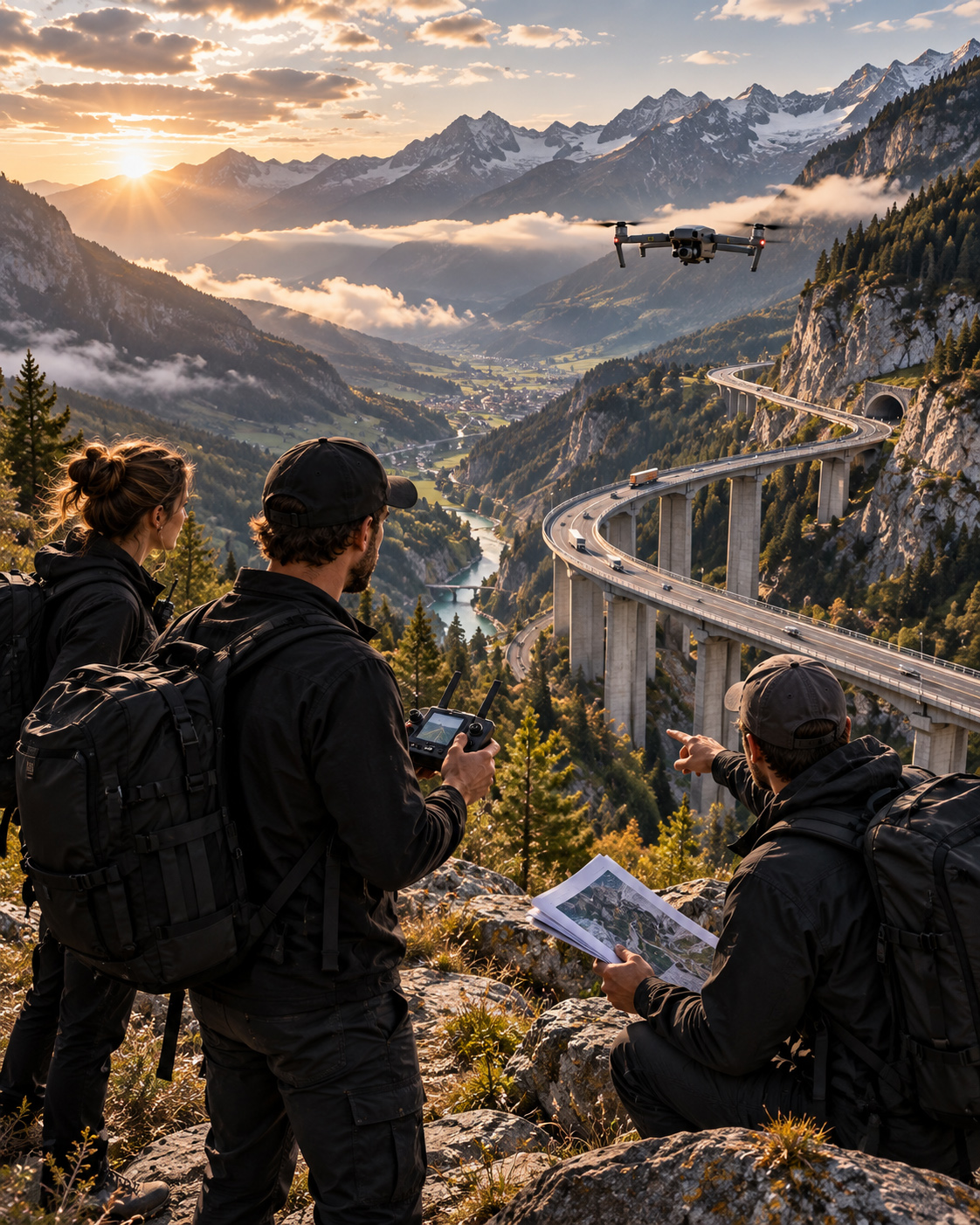
CONTROLLED FLIGHT MODEL
One Subject — Read Through Altitude, Distance, Direction, Movement, And Sequence.
The model demonstrates how different drone movements can work together when every viewpoint has a defined communication role.
Instead of collecting isolated cinematic shots, the flight creates a sequence in which each perspective prepares the viewer for the next.
WHEN THE FLIGHT PATH BECOMES PART OF THE EXPLANATION
A well-directed drone sequence can reveal information that one spectacular viewpoint cannot.
For linear subjects such as roads, bridges, waterfronts, industrial sites, campuses, or large developments, movement can show where something begins, how it travels through space, what it connects to, and where it leads.
The flight itself becomes part of the explanation.

SPATIAL SEQUENCE
A Clear Flight Path Can Turn Separate Views Into One Continuous Understanding Of Place.
The strongest aerial movement does not simply create energy.
It creates continuity between scale, location, direction, and context.
FLIGHT INTEGRITY
The Camera Should Move Because The Meaning Requires It.
Drone Filming becomes more valuable when altitude, speed, angle, distance, and movement are treated as communication decisions rather than a catalogue of cinematic effects.
The viewer should not only remember that the footage looked impressive.
They should understand the subject more clearly because of how the camera moved around it.
A STRONG FLIGHT PATH DOES NOT SIMPLY CREATE MOTION.
IT ORGANIZES PERSPECTIVE SO EVERY NEW VIEW ADDS SOMETHING THE PREVIOUS VIEW COULD NOT.
03 —
FRAMING BEFORE VISUAL IMPACT
WHY IT MATTERS
A drone can reveal an extraordinary amount of space in a single frame.
That does not mean everything inside that frame should compete for attention.
Aerial framing determines what becomes primary, what remains contextual, and how the eye moves through the location.
Altitude provides access. Movement creates sequence. Framing establishes spatial hierarchy.
A building may need to dominate while the surrounding coastline explains scale. An access road may matter because it clarifies arrival. A marina, landscape edge, public space, or neighbouring development may need to remain visible without becoming the subject.
The objective is not to remove context.
It is to organize it.
Strong Drone Filming uses angle, distance, altitude, foreground, background, horizon, and subject placement to make complex environments easier to understand.
A strong aerial frame does not show the most. It makes the most important relationship easiest to read.
COMMON FAILURE
When A Beautiful Frame Makes Everything Equally Important
A wide aerial view can look spectacular while communicating very little.
Architecture, roads, water, landscape, vehicles, people, infrastructure, and surrounding development may all be visible at once.
But when every element carries similar visual weight, the audience must decide for itself what matters.
The result may still feel cinematic.
It simply lacks visual direction.
This is where aerial footage can become impressive without becoming informative.
The problem is not width, altitude, or complexity.
The problem is the absence of hierarchy.
WHEN THE WHOLE LOCATION IS VISIBLE BUT THE SPATIAL RELATIONSHIP IS NOT
WHY THIS EXAMPLE MATTERS
A dramatic aerial composition may successfully capture an entire destination while failing to explain its internal logic.
The main subject competes with surrounding architecture, roads, water, landscape, and activity because the frame gives each element similar importance.
Nothing is technically wrong.
But the viewer receives more information than direction.

WHAT NOT TO DO — Use Width As A Substitute For Clarity
Showing more of a location does not automatically explain more about it.
A frame becomes useful when the relationship between subject, context, scale, and surrounding space is intentional.
BETTER
DIRECTION
DESIGN THE FRAME AROUND ONE PRIMARY SPATIAL RELATIONSHIP
Before deciding how wide the shot should be, define what the audience must understand first.
A useful hierarchy may follow:
Primary Subject → Critical Relationship → Supporting Context → Secondary Detail
Ask:
What must dominate immediately?
What explains its scale?
Which surrounding element gives the subject meaning?
What can remain visible without demanding equal attention?
This does not require narrow framing.
A wide composition can contain substantial information while still giving the eye a clear place to begin.
FRAMING
CONTROL
USE ALTITUDE, ANGLE, DISTANCE, AND COMPOSITION TO DIRECT ATTENTION
Aerial framing changes when the camera moves only slightly.
A higher position may clarify geography.
A lower oblique angle may strengthen scale and architectural presence.
More distance may reveal relationships.
Less distance may remove competing information.
Foreground can establish depth. Negative space can separate a subject. Horizon placement can either strengthen context or weaken it.
Even a subtle shift in position can change which spatial relationships become immediately visible and which remain secondary.
These are not cosmetic choices.
They determine how the space is read.
WHEN THE FRAME MAKES THE SUBJECT AND ITS CONTEXT READ IN THE RIGHT ORDER
WHY THIS EXAMPLE MATTERS
A controlled aerial frame allows the primary subject to establish itself immediately while surrounding elements explain rather than compete.
Architecture remains connected to access, terrain, water, infrastructure, or neighbouring development—but each element receives a different visual role.
The audience does not need to search for the point.
The composition has already established it.
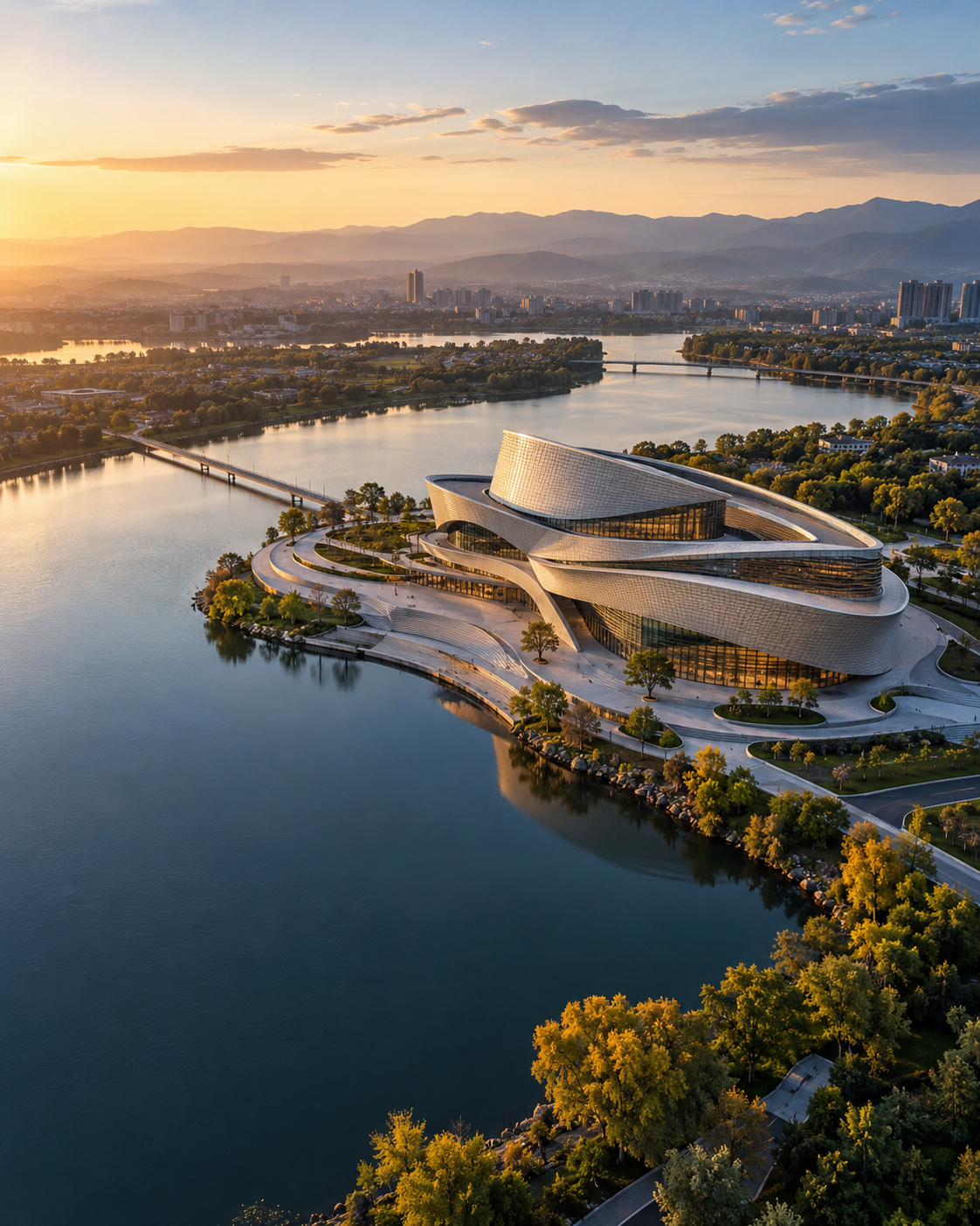
SPATIAL READING
Context Becomes More Valuable When It Supports The Subject Instead Of Fighting For Attention
Aerial communication becomes especially powerful when a location contains several layers of information.
The strongest frame can preserve that complexity while making its hierarchy understandable.
The viewer sees the subject first.
Then its relationship to access, surrounding space, landscape, infrastructure, or activity becomes progressively clearer.
That is the difference between simply documenting a location and directing how that location is understood.
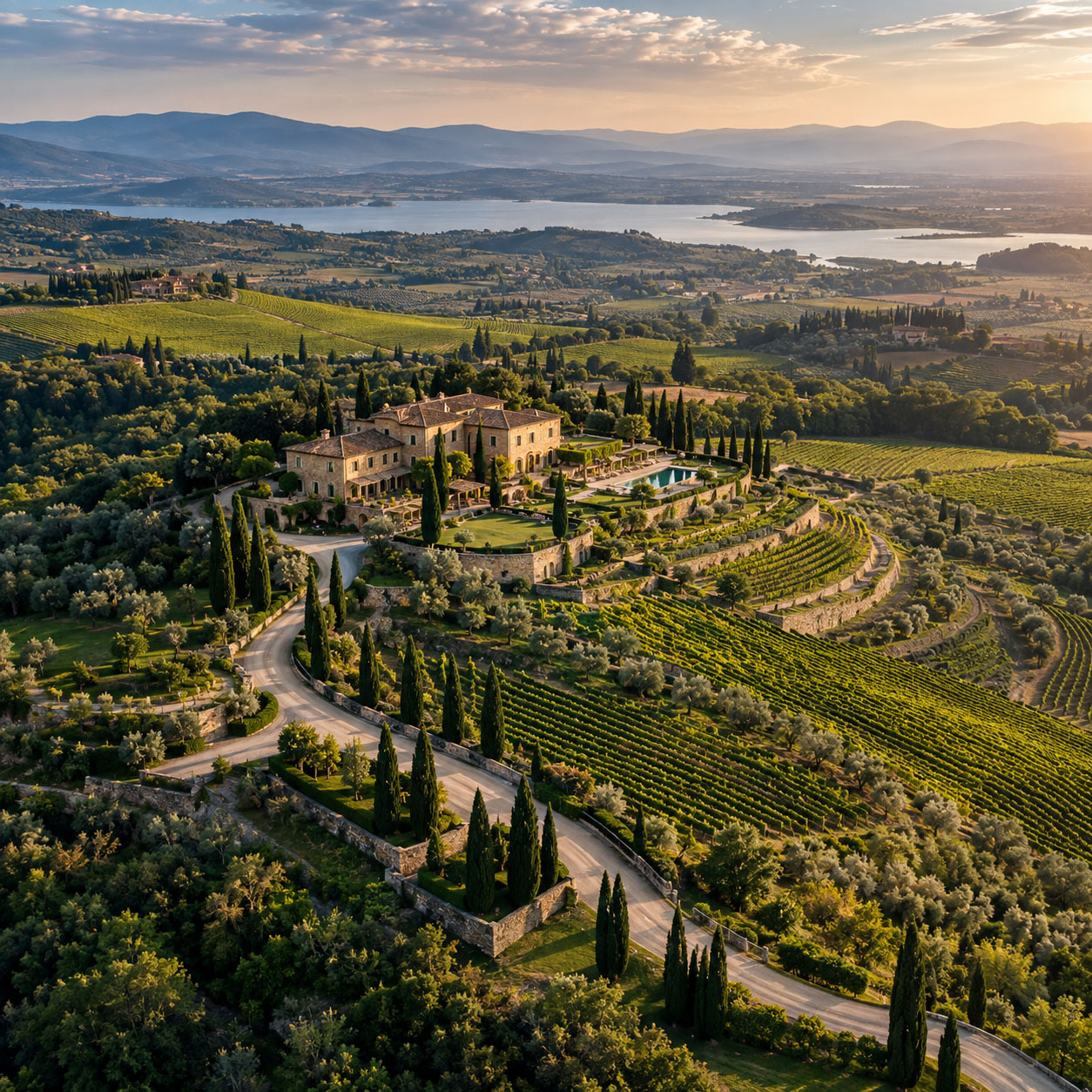
FRAMING INTEGRITY
Strong Drone Framing Makes Complexity Readable Without Making The Place Look Simple.
Professional aerial direction does not eliminate information from complex environments.
It decides which information leads.
The frame becomes a visual argument:
this is the subject → this is what surrounds it → this is how the two relate → this is why that relationship matters.
That hierarchy allows Drone Filming to move beyond attractive composition and become a form of spatial communication.
THE BEST AERIAL FRAME IS NOT THE ONE THAT CONTAINS THE MOST INFORMATION.
IT IS THE ONE THAT MAKES THE RIGHT INFORMATION IMPOSSIBLE TO MISS.
04 —
FEEDBACK BEFORE UNCERTAINTY
WHY IT MATTERS
Every aerial decision creates an immediate question:
Is the shot communicating what it needs to communicate right now?
A drone team needs to know whether the subject is clear, whether the movement is readable, whether the framing is holding, and whether the relationship between elements is becoming easier to understand.
This is the role of professional feedback.
Live monitoring, playback review, timing checks, and team communication make the shot’s behavior visible while the flight is still in progress.
In strong drone filming, feedback is not something added after capture.
It is what helps the team correct altitude, direction, pace, framing, and reveal timing before the opportunity is lost.
A pass may look smooth and cinematic.
That does not automatically mean it is useful.
When feedback is immediate and understandable, the crew can refine the shot with intention instead of repeating movement without knowing whether the message is improving.
Aerial teams should not have to guess what the shot is doing.
COMMON FAILURE
MOVEMENT IS EXECUTED WITHOUT CONFIRMING WHAT THE FRAME IS EXPLAINING
A drone shot may contain elegant motion, attractive light, and professional handling while still leaving the team uncertain about what has actually been achieved.
The aircraft may complete a full pass without clearly confirming whether the subject stayed dominant, whether the reveal happened at the right moment, or whether the audience will understand the spatial relationship being shown.
The problem is usually not technical control.
It is the absence of clear evaluative feedback.
When live review is vague, when roles are not aligned, or when the team has not defined what success looks like, the result is hesitation, unnecessary repetition, and footage that feels polished but not fully resolved.
This wastes time, battery, light, and attention.
Useful feedback does not interrupt creativity.
It protects it.
It confirms whether the current pass is working, whether a correction is needed, or whether the team can move confidently to the next shot.
BAD EXAMPLE
WHEN A BEAUTIFUL MOVING SHOT STILL LEAVES THE TEAM UNCERTAIN
WHY THIS EXAMPLE MATTERS
This example shows how an aerial shot can feel premium and cinematic while still failing to provide enough clarity during capture.
The movement may be attractive.
The location may be visually rich.
But if the frame does not establish what matters first, or if the team cannot quickly judge whether the intended relationship has been captured, the sequence remains uncertain.
It demonstrates how beautiful aerial footage can still become inefficient when movement is not supported by a clear feedback loop.

WHAT NOT TO DO — Let Movement Replace Evaluation
A visually strong pass does not become successful simply because it looks expensive or fluid.
If the crew finishes the shot without clearly knowing whether the subject was readable, whether the reveal worked, or whether the sequence achieved its purpose, motion has replaced feedback instead of supporting it.
BETTER
DIRECTION
DEFINE WHAT MUST BE CONFIRMED BEFORE EXTENDING THE SEQUENCE
A stronger aerial workflow follows a clear sequence:
Intent → Live Pass → Immediate Review → Adjustment → Confirmed Take → Next Shot
Each pass should answer a specific question.
Is the subject clear?
Is the route legible?
Did the reveal arrive at the right moment?
Is the context supporting the subject or competing with it?
The team should be able to evaluate those answers while the location, light, and flight conditions are still usable for immediate adjustment, correction, and confirmation.
Playback review should not be treated as hesitation.
It is part of professional drone direction.
The goal is not to over-analyze every movement.
It is to create a reliable feedback loop that turns capture into controlled visual communication.
FEEDBACK
CONTROL
REVIEW THE SHOT WHILE CORRECTION IS STILL POSSIBLE
Professional aerial review should confirm whether the shot is communicating what the flight was designed to reveal.
The team should be able to answer:
Is the subject clear?
Is the spatial relationship legible?
Is movement revealing the right information?
Is the wider context supporting the subject?
A useful review sequence is:
Live Feed → Immediate Review → Adjustment → Confirmed Take
Altitude, speed, camera angle, or timing may need correction while the location and flight conditions are still available.
Feedback therefore becomes part of professional drone direction, not something postponed until editing.
The objective is not to create more footage.
It is to confirm when the intended visual communication has been achieved.
A STRONG FEEDBACK LOOP MAKES THE NEXT DECISION CLEAR: ADJUST, REPEAT, OR MOVE FORWARD.
GOOD EXAMPLE
WHEN FEEDBACK CONFIRMS THE SHOT BEFORE THE TEAM MOVES ON
WHY THIS EXAMPLE MATTERS
This example shows how live monitoring, role clarity, and immediate review can turn one pass into a controlled decision.
The crew does not rely on motion alone.
They observe whether the frame is reading correctly, whether the subject remains dominant, and whether the wider context supports the intended message.
The result is a clearer aerial sequence, fewer unnecessary repeats, and footage that feels both cinematic and purposeful.
It demonstrates how aerial review, visual confirmation, and on-site decision-making work together to strengthen the final outcome.
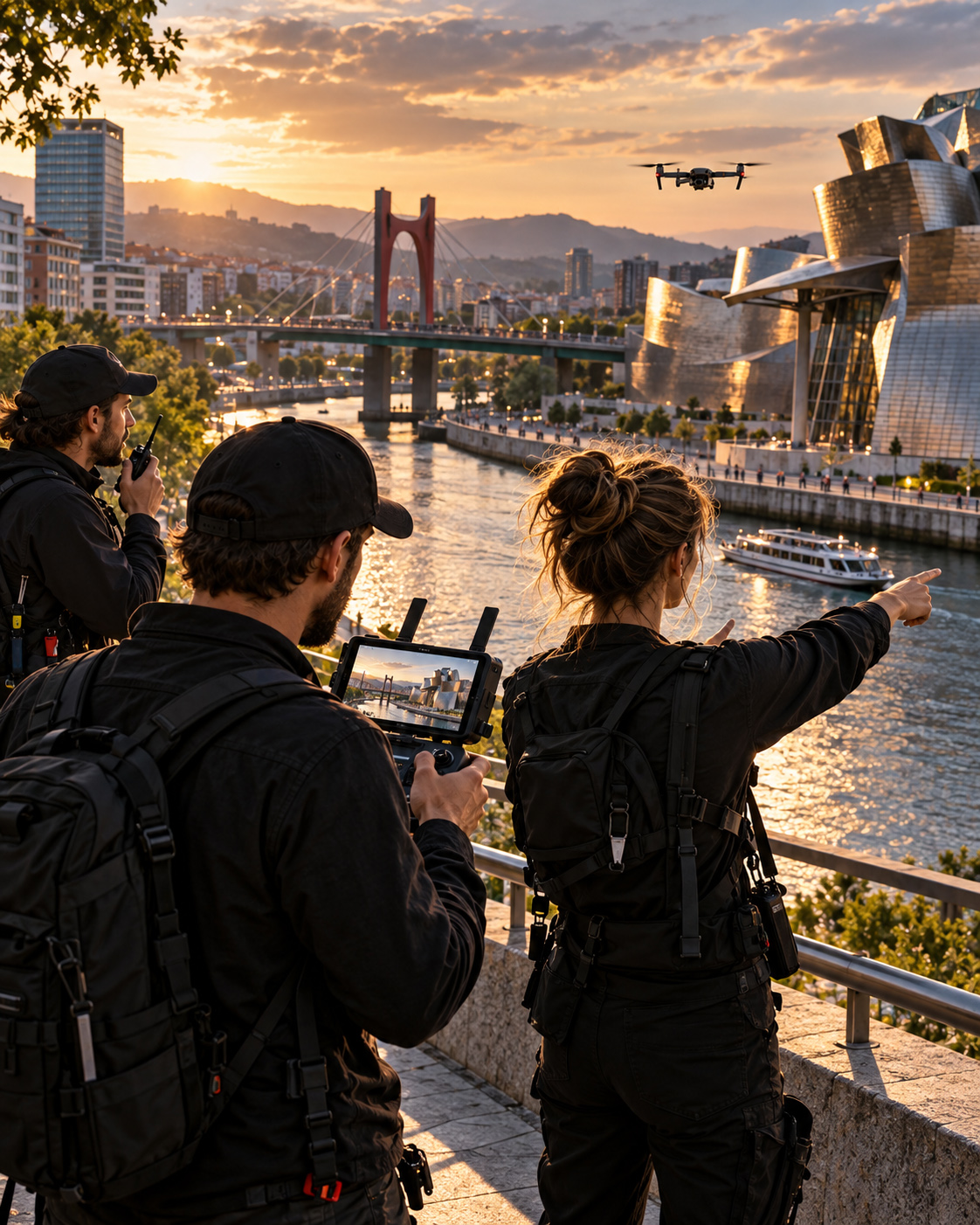
LIVE FEEDBACK
One Active Aerial Shot — Evaluated Through Subject Priority, Framing, Spatial Context, And On-Site Direction While Correction Is Still Possible.
Live review allows the crew to judge whether the intended relationship is reading clearly before the moment, light, movement, or flight position has passed.
GOOD EXAMPLE
WHEN FEEDBACK TURNS A MOVING SHOT INTO A CONFIRMED SPATIAL RESULT
WHY THIS EXAMPLE MATTERS
A successful aerial sequence should not end with the assumption that the shot probably worked.
The final frame should make the intended subject, spatial relationship, access, movement, and surrounding context immediately understandable.
When those relationships are clear, the crew no longer needs another pass simply to discover what the previous one failed to explain.
This is where aerial feedback becomes visual confirmation: the shot has been observed, evaluated, refined where necessary, and resolved into a frame that communicates with confidence.
The result is not merely attractive footage.
It is a confirmed aerial perspective in which movement has produced clear spatial understanding.

VISUAL CONFIRMATION
One Controlled Aerial Result — Where Subject, Connection, Direction, And Context Read Clearly In A Single Frame.
The final view demonstrates what effective feedback protects: a shot that no longer depends on explanation because the spatial relationships are already visible.
A DRONE SHOT SHOULD NOT ASK THE TEAM TO GUESS WHETHER IT WORKED.
IT SHOULD PROVIDE ENOUGH FEEDBACK TO CONFIRM WHAT HAS BEEN CAPTURED, WHAT MUST BE CORRECTED, AND WHAT SHOULD HAPPEN NEXT.
05 —
VISIBLE PROGRESS BEFORE RETURN
WHY IT MATTERS
Repeated aerial work becomes easier to understand when the project makes continuity visible.
A client may review one site several times across a week, a phase, or a longer period of development.
Without clear progress logic, individual flights can feel isolated from one another.
A stronger aerial structure shows what has changed, what remains active, how the current condition compares with earlier coverage, and what should be reviewed next.
This does not mean adding more views, more dates, or more visual noise.
The purpose of aerial progress communication is not to show more footage.
It is to make repeated activity easier to read.
When progress is clearly presented, aerial material can support orientation, decision-making, continuity, and confident return planning.
Progress becomes useful when the audience can understand it at a glance.
COMMON FAILURE
PROGRESS IS CAPTURED WITHOUT A CLEAR COMPARATIVE LOGIC
A return flight may include strong footage, multiple angles, visible activity, and attractive light while still failing to explain what matters.
The problem appears when every area receives equal attention.
Current work may be confused with completed work.
A new intervention may not be clearly separated from a previous phase.
Repeated overview shots may look impressive while revealing no clear progression.
In that situation, more footage becomes more visual volume.
A strong drone progress sequence should help the viewer answer a small number of relevant questions:
What has changed?
What is active now?
How does this compare with the last documented condition?
And what should be reviewed next?
WHEN A RETURN SEQUENCE CONTAINS MORE COVERAGE THAN UNDERSTANDING
WHY THIS EXAMPLE MATTERS
This example shows how a return flight can look polished and professional while still failing to make progress readable.
The footage may contain scale, motion, activity, and rich spatial context.
But when the sequence does not establish what is current, what has changed, and what deserves priority, the result remains difficult to interpret.
It demonstrates how overloaded aerial progress coverage can make repeated documentation harder — not easier — to understand.

WHAT NOT TO DO — Let Every Active Zone Compete For Equal Attention
More coverage does not create more clarity when viewers cannot quickly distinguish the current condition, the meaningful change, and the next useful point of comparison.
BETTER
DIRECTION
ORGANIZE RECURRING COVERAGE AROUND THE QUESTIONS THE VIEWER ACTUALLY NEEDS ANSWERED
A clearer aerial progress system begins with a simple sequence:
Current Condition → Key Change → Wider Context → Next Priority
Each return pass should clarify one relationship at a time.
The sequence should separate completed work, active work, and emerging change.
Recurring viewpoints should make comparison easier across time.
Wider context should support the reading of progress — not compete with it.
The objective is not to show every possible angle.
It is to create a readable visual record that helps viewers understand change without searching for it.
Good aerial progress direction gives people enough information to recognize development and continue with confidence.
PROJECT
EVIDENCE
PROFESSIONAL DRONE COVERAGE TURNS REPEATED VISITS INTO A READABLE VISUAL RECORD
A stronger aerial workflow makes progress visible by organizing repeated coverage around consistency, comparison, and visual hierarchy.
Current conditions can be separated from completed zones.
Active work can be distinguished from background context.
The value does not come from the number of flights alone, but from what comparison reveals.
It comes from how clearly the footage shows what has advanced, what remains unresolved, and what should be understood next.
This is how drone progress documentation becomes more useful for review, presentation, stakeholder communication, and confident decision-making across project stages.
WHEN REPEATED AERIAL COVERAGE TURNS CHANGE INTO A CLEAR SPATIAL PATTERN
WHY THIS EXAMPLE MATTERS
The following material shows how recurring aerial documentation can move from broad site coverage to a more useful and readable progress structure.
The goal is not simply to revisit the same place.
It is to make each return clarify what changed, how the site is evolving, and where the next visual question begins.
Rather than adding more angles, the sequence focuses on the relationships people are most likely to need when reviewing progress and deciding how to continue.
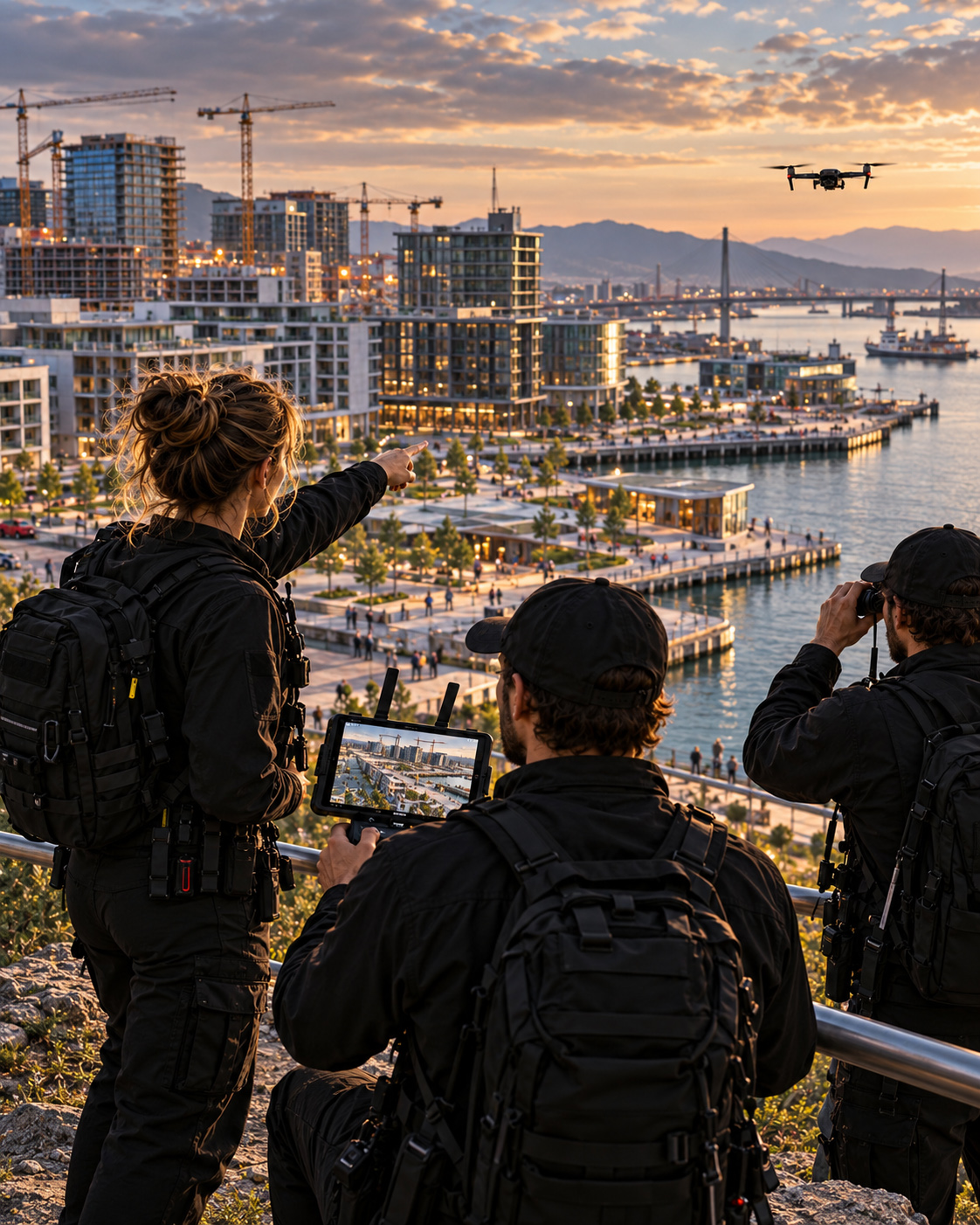
PROJECT EVIDENCE — 01
DOCUMENTATION STUDY — Comparative Return Views Clarifying Current Condition And Previous State
This direction explores how consistent viewpoints can make completed areas, active work zones, and recent change easier to compare across time.

PROJECT EVIDENCE — 02
DOCUMENTATION STUDY — Simplified Progress Framing Distinguishing Active Work, Record State, And Next Phase
This direction reduces visual competition and gives the most useful progress relationships stronger immediate hierarchy.

PROJECT EVIDENCE — 03
REAL-WORLD APPLICATION — Progress Reviewed In A Professional Moment Of Return
This direction places the progress sequence into a realistic working context, helping the team understand what changed, what remains active, and what should happen next.
PROGRESS IS NOT MORE USEFUL BECAUSE IT CONTAINS MORE FOOTAGE.
IT BECOMES USEFUL WHEN PEOPLE CAN SEE WHAT HAS CHANGED, WHAT IS ACTIVE NOW, WHAT HAS ALREADY BEEN ACHIEVED, AND WHERE THE NEXT RETURN SHOULD BEGIN.
WHEN AERIAL COVERAGE BECOMES A RESOURCE FOR WHAT COMES NEXT
WHY THIS EXAMPLE MATTERS
Professional Drone Filming does not stop creating value when the aircraft lands.
When selected footage, repeatable viewpoints, location context, flight logic, and progress references remain connected, aerial work becomes easier to revisit, compare, reuse, and extend.
The footage records a moment.
The wider system preserves how that moment should be understood.
That changes what completion means.
Instead of leaving behind disconnected clips, the work becomes a structured visual resource for communication, comparison, future planning, and return coverage.
The flight is finished.
Its spatial intelligence does not have to be.

VALUE BEYOND THE FLIGHT
AERIAL FOOTAGE BECOMES MORE USEFUL WHEN ITS CONTEXT REMAINS AVAILABLE
The footage preserves what was visible.
The wider aerial record preserves why the viewpoint mattered.
Together, they can support progress comparison, stakeholder communication, presentations, future development, location review, and later production decisions.
This is where Drone Filming becomes more than capture.
It becomes continuity, reference, and reusable spatial knowledge.
STRONG AERIAL WORK SHOULD NOT DISAPPEAR INTO A MEDIA FOLDER.
IT SHOULD BECOME A VISUAL FOUNDATION FOR WHAT COMES NEXT.
LONG-TERM AERIAL VALUE
THE STRONGEST AERIAL SYSTEMS MAKE FUTURE RETURNS EASIER TO UNDERSTAND
A location changes.
The visual logic established around it should not have to be rebuilt from zero.
When viewpoints, timing, framing, movement, selected footage, and project context remain connected, the next flight can begin with understanding rather than reconstruction.
That makes recurring aerial work more useful.
Not because more footage exists.
Because each return can build on what the previous flight already revealed.
This is why professional aerial documentation can become more than repeated capture.
It becomes infrastructure for comparison, continuity, and future communication.
THE FLIGHT ENDS.
THE VISUAL KNOWLEDGE SHOULD REMAIN AVAILABLE.
FROM AERIAL PERSPECTIVE TO LASTING SPATIAL VALUE
A Strong Drone Filming System Turns Perspective Into Understanding That Can Be Used Again
The strongest aerial work does more than produce cinematic footage. It preserves spatial relationships, movement, context, change, and visual knowledge that remain useful after the flight is complete.
A beautiful aerial image can show what a place looks like.
Professional Drone Filming goes further.
It helps people understand how a location is organized, how one area connects to another, what deserves attention first, and how the same place changes through time.
That value begins before take-off.
Perspective determines what the audience will understand.
Movement determines how that understanding develops.
Framing establishes hierarchy.
Feedback confirms whether the intended relationship has actually been captured.
And repeated aerial coverage creates continuity when the same spatial logic can be recognized again later.
These responsibilities are different.
But they protect the same thing:
the clarity of the location as perspective, motion, time, and production decisions begin to shape how it is seen.
Aerial footage therefore becomes more useful when each shot belongs to a wider visual system.
One frame establishes orientation.
Another reveals connection.
Movement creates sequence.
Review protects intention.
And return coverage makes change visible.
The result is not simply more footage.
It is a more legible understanding of space.
THE FINAL IMAGE SHOWS WHAT THE CAMERA CAPTURED.
PROFESSIONAL DRONE FILMING PRESERVES THE SPATIAL INTELLIGENCE THAT MADE THE VIEW USEFUL.
THE FIVE DIMENSIONS OF AERIAL WORK THAT CONTINUES TO CREATE VALUE
Perspective establishes what matters and from where it should be understood.
Movement connects separate viewpoints into one spatial sequence.
Framing decides what should be read first and what should remain context.
Feedback confirms whether the intended visual relationship is actually working.
Continuity allows future flights to begin from what previous coverage has already revealed.
Together, these five dimensions move professional aerial production beyond isolated shots and toward a controlled system for communicating space clearly.
A BEAUTIFUL AERIAL SHOT CAN SHOW THAT A PLACE EXISTS.
A STRONG AERIAL SYSTEM EXPLAINS HOW THAT PLACE SHOULD BE READ — AND PRESERVES THAT UNDERSTANDING FOR WHAT COMES NEXT.
FROM AERIAL CAPTURE TO PROFESSIONAL CONTINUITY
Key Takeaways
Professional Drone Filming creates greater value when every flight decision contributes to spatial clarity rather than visual spectacle alone.
The five principles explored throughout this article lead to one larger idea:
aerial perspective becomes professionally useful when people can understand not only what they are seeing, but why that viewpoint, movement, sequence, and comparison matter.
That principle applies across architecture, property, infrastructure, destination communication, development progress, events, and other situations where space itself is part of the message.
01 —
PERSPECTIVE
BEFORE
CAPTURE
Aerial perspective should answer a visual question before it creates an impressive image.
The subject, surrounding geography, access, scale, and intended use should determine where the story begins.
Altitude becomes valuable when it reveals a relationship the ground cannot explain as clearly.
02 —
MOVEMENT
BEFORE
SPECTACLE
Camera movement should not exist simply because the aircraft can move during professional aerial production.
Direction, speed, altitude, and reveal should help the audience understand how one part of the space connects to another.
Movement succeeds when the sequence creates meaning—not merely motion across the location.
03 —
HIERARCHY
BEFORE
COVERAGE
Strong aerial framing gives the subject priority while allowing the surrounding environment to provide context without competing for attention.
Complex space becomes easier to understand when the frame establishes what should be read first.
04 —
FEEDBACK
BEFORE
ASSUMPTION
A shot should be evaluated while correction is still possible.
Live review helps determine whether the subject remains dominant, the movement reads clearly, and the intended relationship has actually been captured.
Professional feedback turns a flight pass into a decision: adjust, repeat, or move forward.
05 —
CONTINUITY
BEFORE THE
NEXT RETURN
Recurring Drone Filming becomes more valuable when future coverage can be compared with a known visual reference across repeated visits and phases.
Consistent perspective, recognizable relationships, and preserved spatial context make change easier to identify with greater confidence over time.
The next flight should begin with what the previous one has already taught the project.
THE STRONGEST AERIAL WORK IS NOT THE FLIGHT THAT PRODUCES THE MOST FOOTAGE.
IT IS THE ONE THAT TURNS PERSPECTIVE, MOVEMENT, FRAMING, FEEDBACK, AND TIME INTO A CLEARER UNDERSTANDING OF SPACE.
FROM AERIAL CAPTURE TO LASTING SPATIAL VALUE
A Strong Drone Filming System Turns A Location Into Visual Knowledge People Can Understand, Compare, And Use Again
The strongest Drone Filming does more than capture a location from above. It connects perspective, movement, framing, feedback, and continuity so aerial footage communicates how a space works—not simply how it looks.
A single aerial frame can show what exists.
Professional aerial direction should reveal more.
It can establish where the subject sits within its environment, how access and movement connect separate areas, which relationships deserve attention, and how those relationships change over time.
Across the five sections explored in this article, one principle keeps returning:
aerial footage becomes more valuable when every visual decision improves spatial understanding.
Perspective establishes orientation.
Movement turns separate viewpoints into sequence.
Framing creates visual hierarchy.
Feedback confirms whether the intended relationship is actually being communicated.
And continuity allows future aerial coverage to build on what has already been learned.
These responsibilities are different.
But none of them is strongest in isolation.
Perspective without hierarchy can become spectacle.
Movement without purpose can become visual activity.
Framing without context can remove the relationships that give the subject meaning.
Capture without feedback can preserve a mistake beautifully.
And repeated flights without continuity can produce more footage while making comparison harder.
Professional Drone Filming therefore does not make a location appear more complicated.
It makes its spatial logic more legible.
It allows viewers to understand not only what is visible, but what matters, how elements relate, what has changed, and where attention should move next.
THE CAMERA RECORDS THE VIEW.
PROFESSIONAL AERIAL DIRECTION PRESERVES THE RELATIONSHIPS THAT MAKE THE VIEW MEANINGFUL.
THE FIVE DIMENSIONS OF DRONE FILMING THAT CONTINUE TO CREATE VALUE
Perspective defines where understanding begins. Movement connects spatial information through time. Framing determines visual priority. Feedback verifies whether the intended communication has been achieved. Continuity keeps repeated aerial coverage comparable and useful.
Together, these five dimensions transform isolated aerial footage into a professional visual system that can be understood, reviewed, compared, presented, and used again without rebuilding the spatial story from the beginning.
AN AERIAL IMAGE MAY SHOW THAT A PLACE IS IMPRESSIVE.
STRONG DRONE FILMING EXPLAINS HOW THAT PLACE SHOULD BE READ — AND PRESERVES THAT CLARITY FOR WHAT COMES NEXT.
WHEN AERIAL FOOTAGE BECOMES A REFERENCE FOR WHAT COMES NEXT
WHY THIS EXAMPLE MATTERS
Professional continuity becomes visible when aerial work remains understandable after the aircraft has landed and the original production moment has passed.
The flight is complete.
The location continues to change.
The selected views remain.
And the reasoning behind them can still support the next comparison, presentation, decision, or return.
At that point, footage stops functioning only as media.
It becomes part of the visual memory of the place.
That is where professional Drone Filming gains value beyond capture.

AERIAL CONTINUITY BEYOND THE FLIGHT
A Completed Flight Creates Greater Long-Term Value When Its Perspective, Comparisons, And Spatial Logic Remain Available For What Comes Next.
The aircraft may be grounded.
The understanding created through the flight should remain usable.
Strong aerial work leaves behind more than footage.
It leaves behind a visual reference for understanding the location again, comparing what changes, and approaching the next flight with greater clarity.
THE FLIGHT ENDS.
THE SPATIAL KNOWLEDGE DOES NOT HAVE TO.